Humminbird 600040-3 SmartStrike Western States V3 Микро карта за цифрови GPS карти

Brand:‎Humminbird

2.8/5

lv
422.29

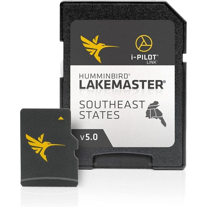
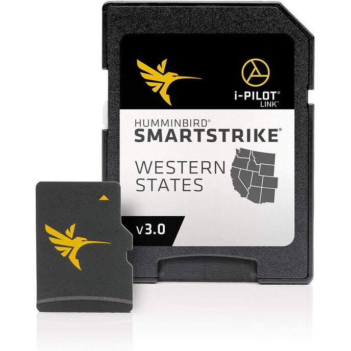
Humminbird SmartStrike Western States Edition, версия 3, е карта с микро карта и SD адаптер с 1330+ карти на езера, включително 128 езера с висока разделителна способност от AZ, CA, CO, ID, MT, NM, NV, OR, UT, WA и WY.

Картите LakeMaster са съвместими с всички модели от серията HELIX, SOLIX, ONIX и ION, оборудвани с GPS, заедно с избрани модели от серия 600-1100. Включените функции като подчертаване на дълбочината, подчертаване на плитки води и отместване на нивото на водата могат да се използват изключително с търсачки за риба Humminbird. Версия 3 включва допълнителни 42 езера с висока разделителна способност от последната версия; Включва: Clear Lake, Don Pedro Reservoir, Isabella, Oroville, Pleasant, Shasta и много други. Включва всички карти на езерата, намерени на текущата карта LakeMaster на западните щати. Въз основа на параметри за търсене като сезон, време на деня, температура и целеви видове риби, SmartStrike подчертава области от картата на езерото, където е най-вероятно да се намира вашата плячка - преди дори да намокрите въдица.
Brand Name ‎Humminbird
Color ‎Black
Customer Reviews 3.7 3.7 out of 5 stars 34 ratings 3.7 out of 5 stars
Fishing Technique ‎Any
Included Components ‎Humminbird 600040-3 SmartStrike Western States V3 Digital GPS Maps Micro Card
Item Dimensions LxWxH ‎8 x 5 x 1 inches
Item Package Dimensions L x W x H ‎7.52 x 5.35 x 1.26 inches
Item Weight ‎0.34 Pounds
Manufacturer ‎Humminbird
Material ‎Plastic
Model Name ‎SmartStrike
Number of Items ‎1
Package Weight ‎0.16 Kilograms
Part Number ‎600040-3
Size ‎One Size
Sport Type ‎Boating, Fishing
Suggested Users ‎Unisex-adult
Warranty Description ‎30-Day Cartography Warranty

2.8

5 Review
5 Star
46
4 Star
19
3 Star
14
2 Star
5
1 Star
16

Напишете вашето мнение

Вашият имейл няма да бъде публикуван. Всички задължителни полета са маркирани с*

Scritto da: lungehunter
Disappointed
We recently relocated across country. Thought this would help us get on fish a little faster. Just plugged it into a 899hci hd unit, it’s only compatible with helix and onix. Still shows fish likely areas just won’t get the smart strike feature.
Scritto da: Aaron
Amazing Product Amazing Information
If you have the HumminBird Helix Network on all your units, this is a must have. In CA all my lakes are High Definition. So this product is priceless. Plus I have the Minn Kota Ultrex and the Mega 360. You can not network the Maps, but the waypoints you can. I need to make copies so all my units can have the contour lines. I just got the set up and still learning how to use it. I learn something new every time I go fishing. lol
Scritto da: Michael Tribe
LOOK BEFORE YOU BUY
Make sure you scroll all the way down in the FEATURES! **SmartStrike full search functionality is exclusive to High-Definition waters only and GPS-equipped APEX, SOLIX, HELIX, ONIX and ION units. They provide a list of lakes they have charted for mapping purposes. However, in order to use the SmartStrike function it only works with approximately 100 lakes nationwide. The chart lists SmartStrike lakes only as the High-Definition waters highlighted in BOLD font. I live in Utah and they only have one lake listed. Save your money.
Scritto da: DK
Mine came as version 3
Looked like it’s good mapping, and I was surprised it was version 3.
Scritto da: Michael B.
Please don’t wast you money.
The chart only show one mile of the Columbia River at Astoria. The river is over four miles wide at that location. The rest of the river is marked in red, as unnavigable. The problem is that most of the red area is very easily navigated. This red area is well over ten square miles. The chart doesn’t have a single navigation buoy on it.

Свързани продукти

Открийте нашата международна мрежа

Изпращаме до 28 държави, над 200 000 продукта. Бъдете в течение, абонирайте се за бюлетина.

Array